SpatialAnalyser - Metrology software solution
Powerful portable metrology software: multi-instrument, advanced analysis and calculation features
Presentation SpatialAnalyser - Metrology software solution
The most powerful 3D metrology software on the market for large-scale inspections
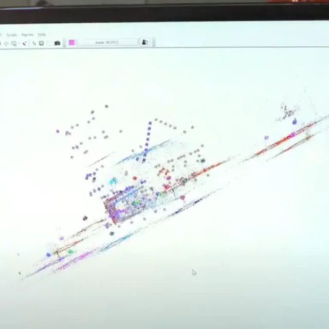
Numerous interfaces
The software is capable of communicating with tracker lasers, measuring arms, radar lasers, scanners, laser projectors, theodolites, total stations and photogrammetry devices – each class of instrument benefiting from a common interface.
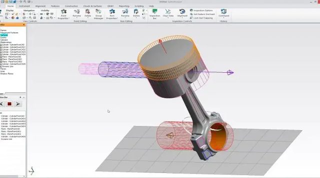
Interactive data visualization
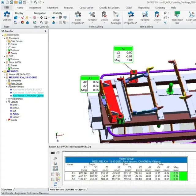
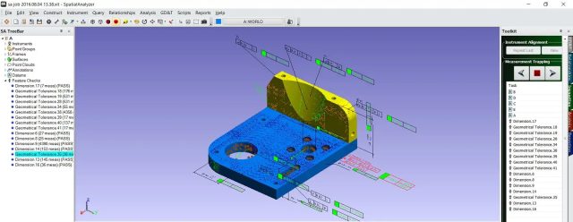
Create interactive 3D maps and models for in-depth understanding and clear communication of results.
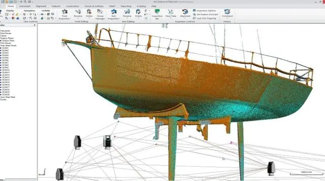
Multiple data integration
Easily merge datasets from various sources for comprehensive and consistent analysis
Workflow automation
Simplify your processes by automating repetitive tasks, thereby improving efficiency and productivity.
Discover Spatial Analyser in video
Contact Us
Questions about our Spatial Analyzer software? Request a demo
Specifications SpatialAnalyser - Metrology software solution
Display
Interactive 3D models and maps
Compatibility
Allows connection of any type of portable metrology instrument (Leica, FARO, ...)
Automation
Allows complex operations automation
Compatible files
IGES, STEP, STL, CATIA, SolidWorks, NX, ProEngineer, Creo Parametric Inventor, ...
Modules
GD&T geometric tolerances, graphic reports, color maps, absolute traceability of measured data, point cloud measurement
SpatialAnalyser - Metrology software solution
Powerful portable metrology software: multi-instrument, advanced analysis and calculation features
G2Métric France - Toulouse (Siège) + information
20 Avenue Prat Gimont 31130 BALMA Closed todayOur other offices
Need information about our product "SpatialAnalyser - Metrology software solution" ? Contact us
Customer references